ATLAS

ATLAS by ATLASGIS

Spatial decision tools, built on one platform.

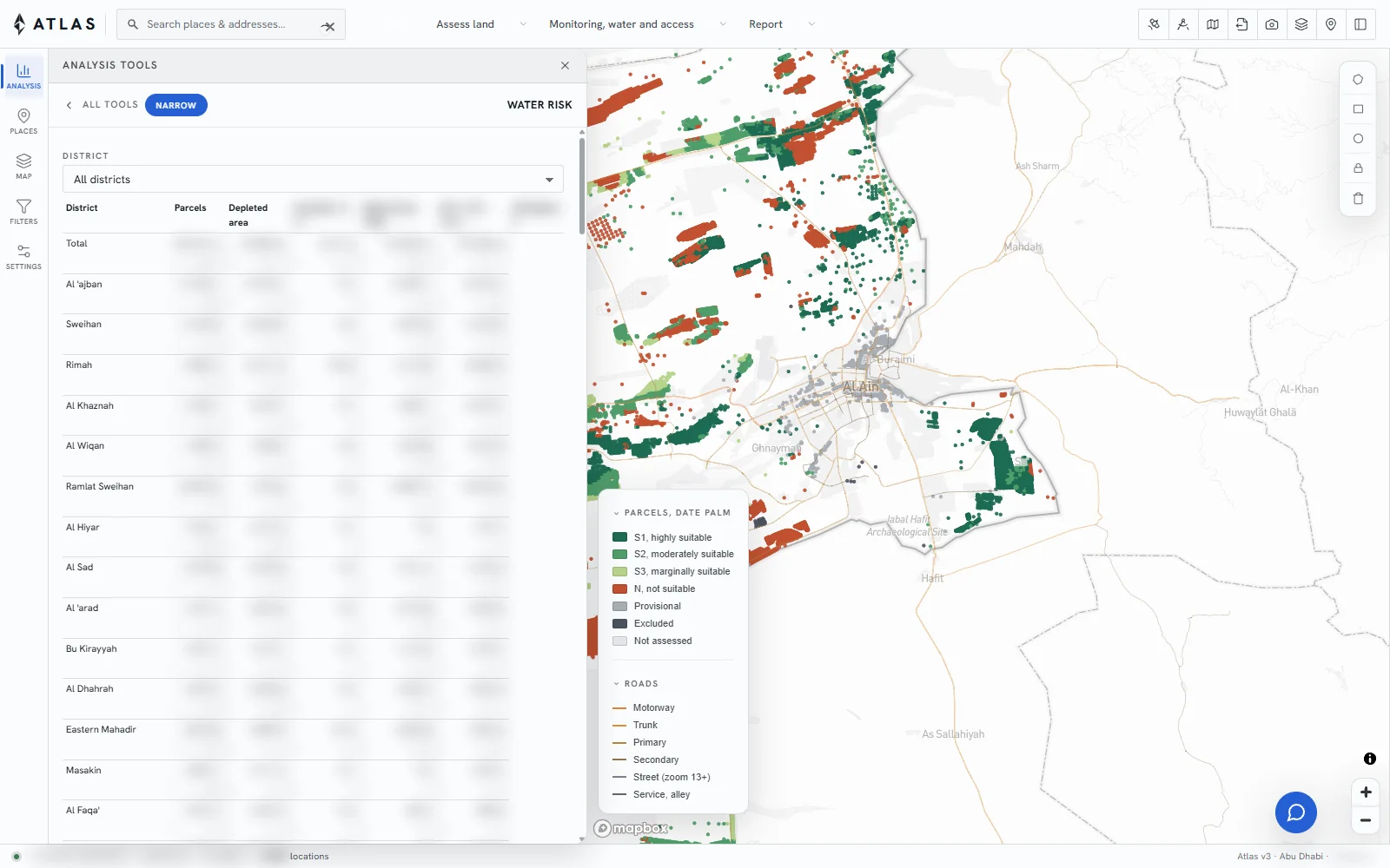
Planning, agriculture, water, health and logistics, each configured for the territory and the question.

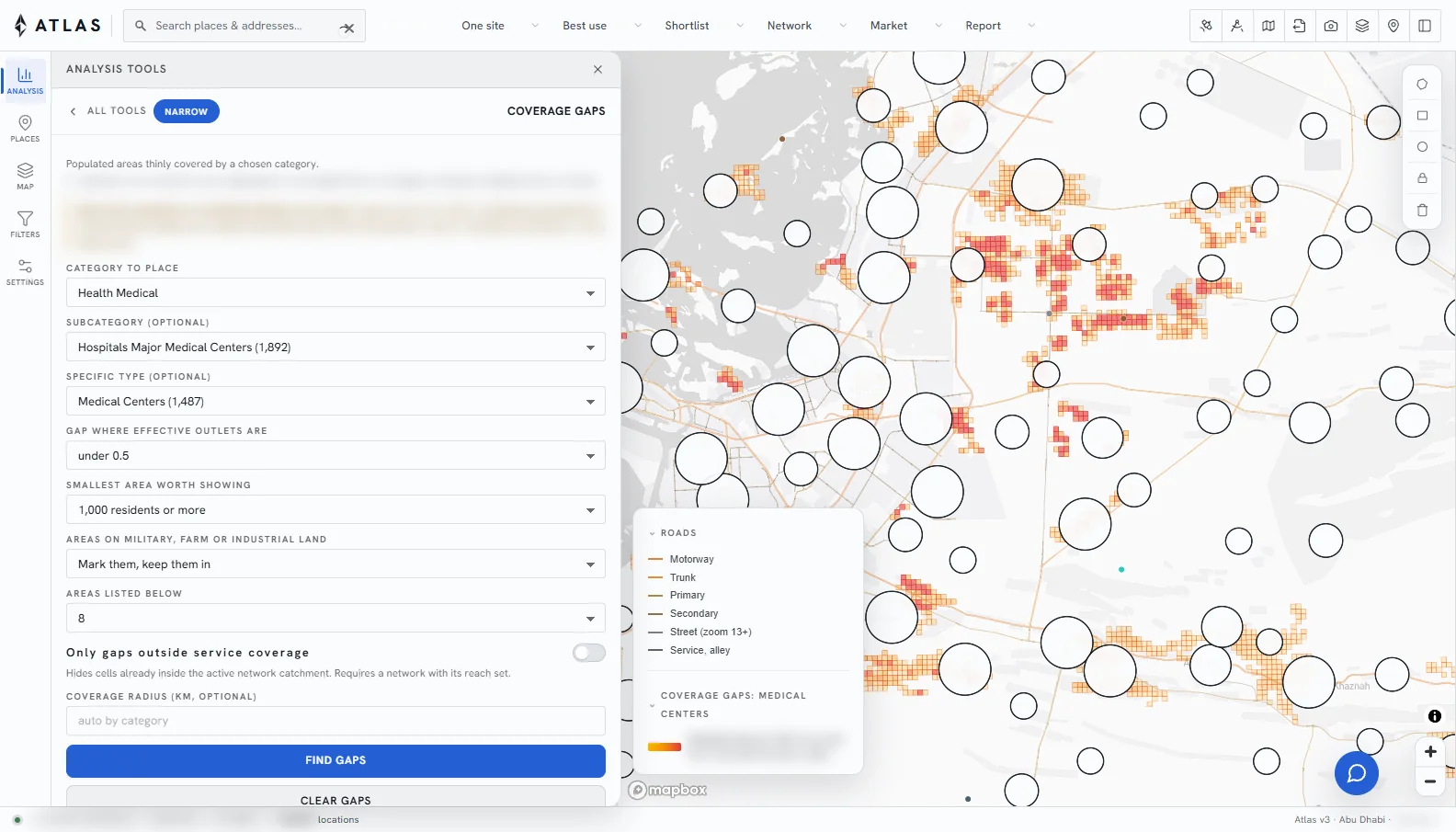
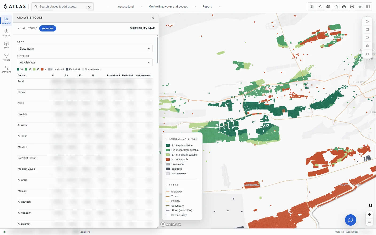
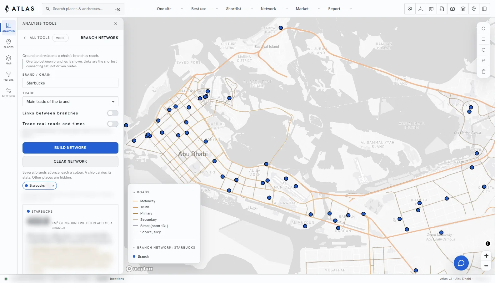
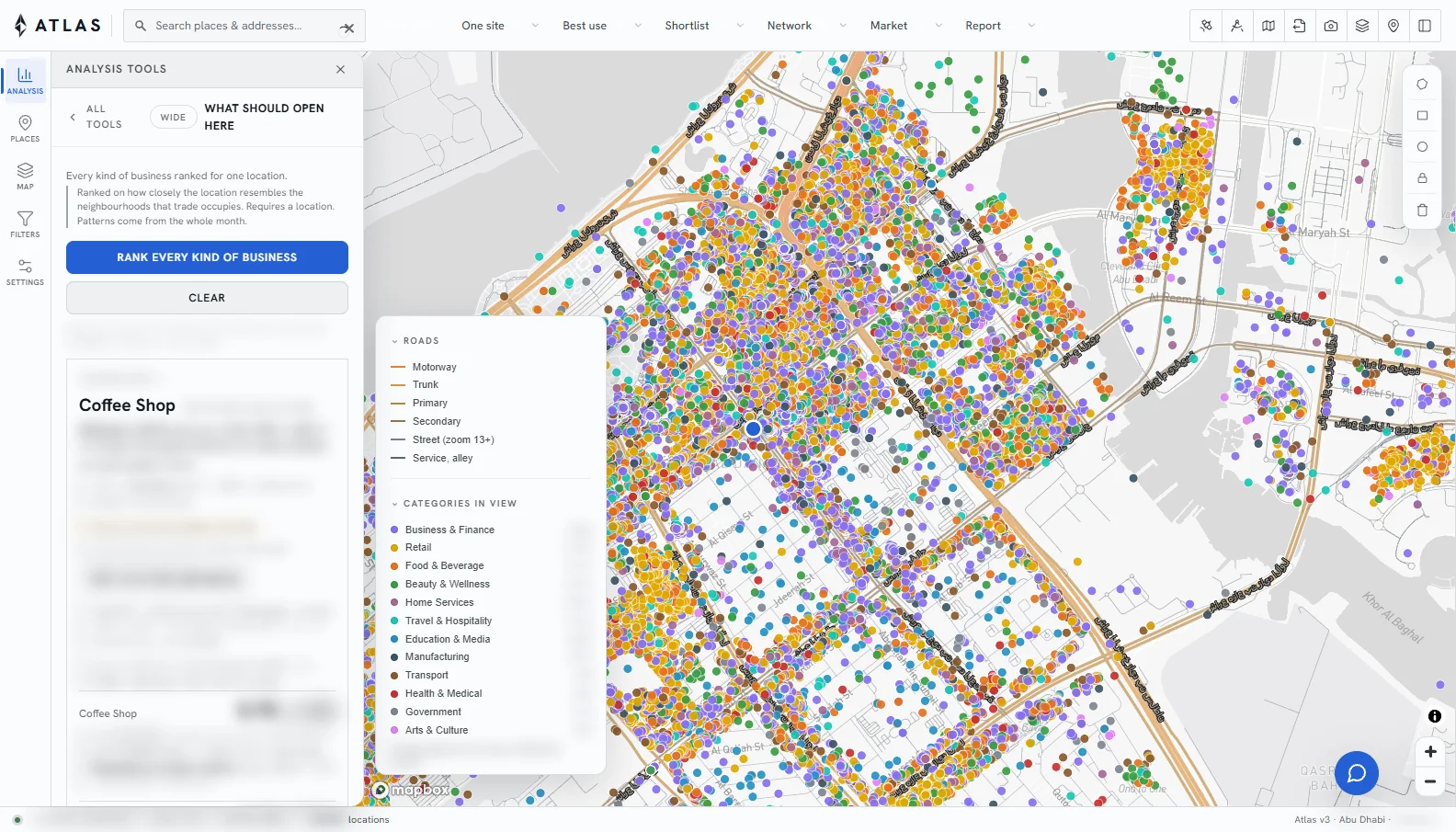
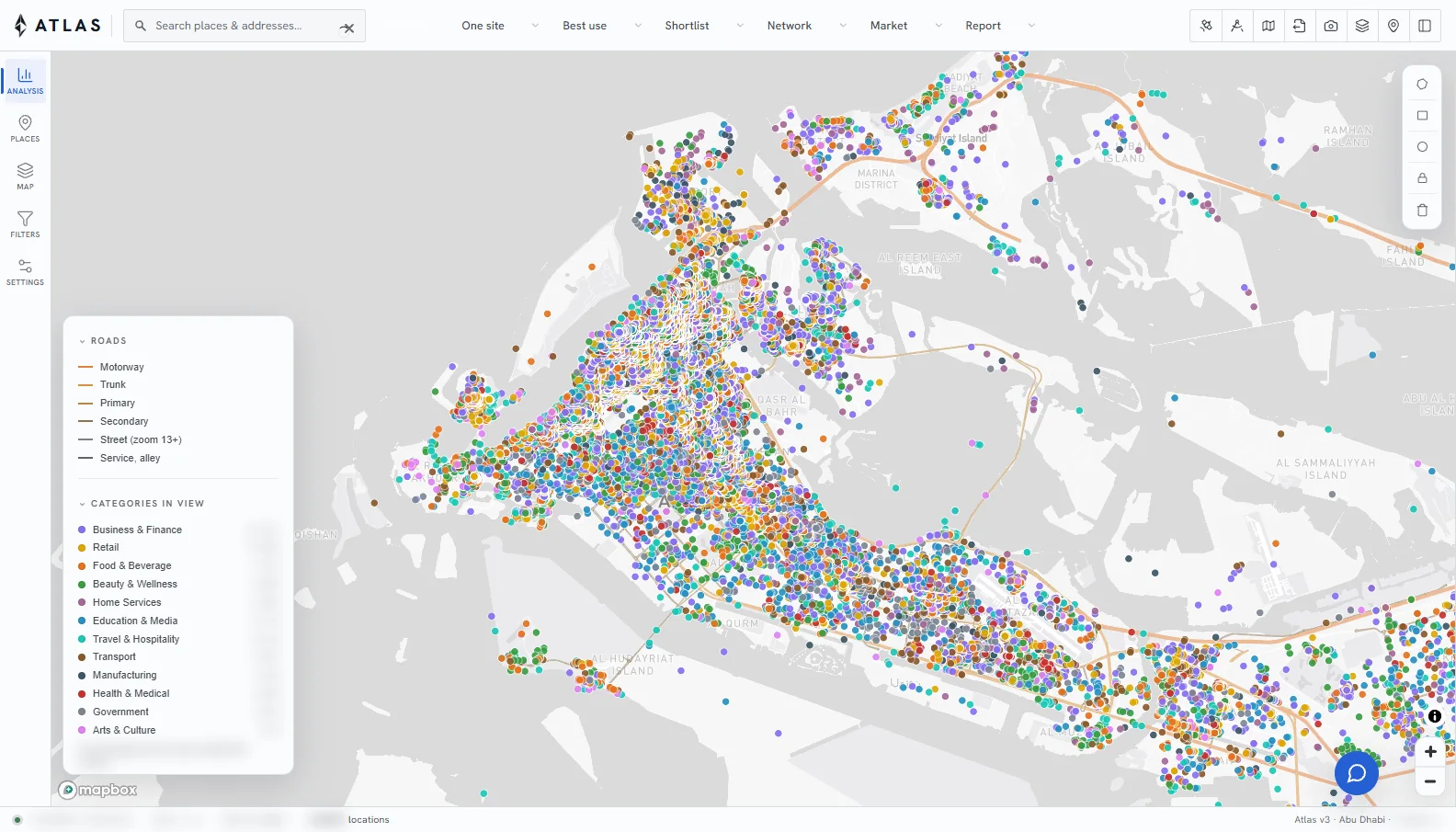
ATLAS Planning: places across Abu Dhabi on the map, with the analysis tools beside it

Platform

What every solution shares.

01

One map

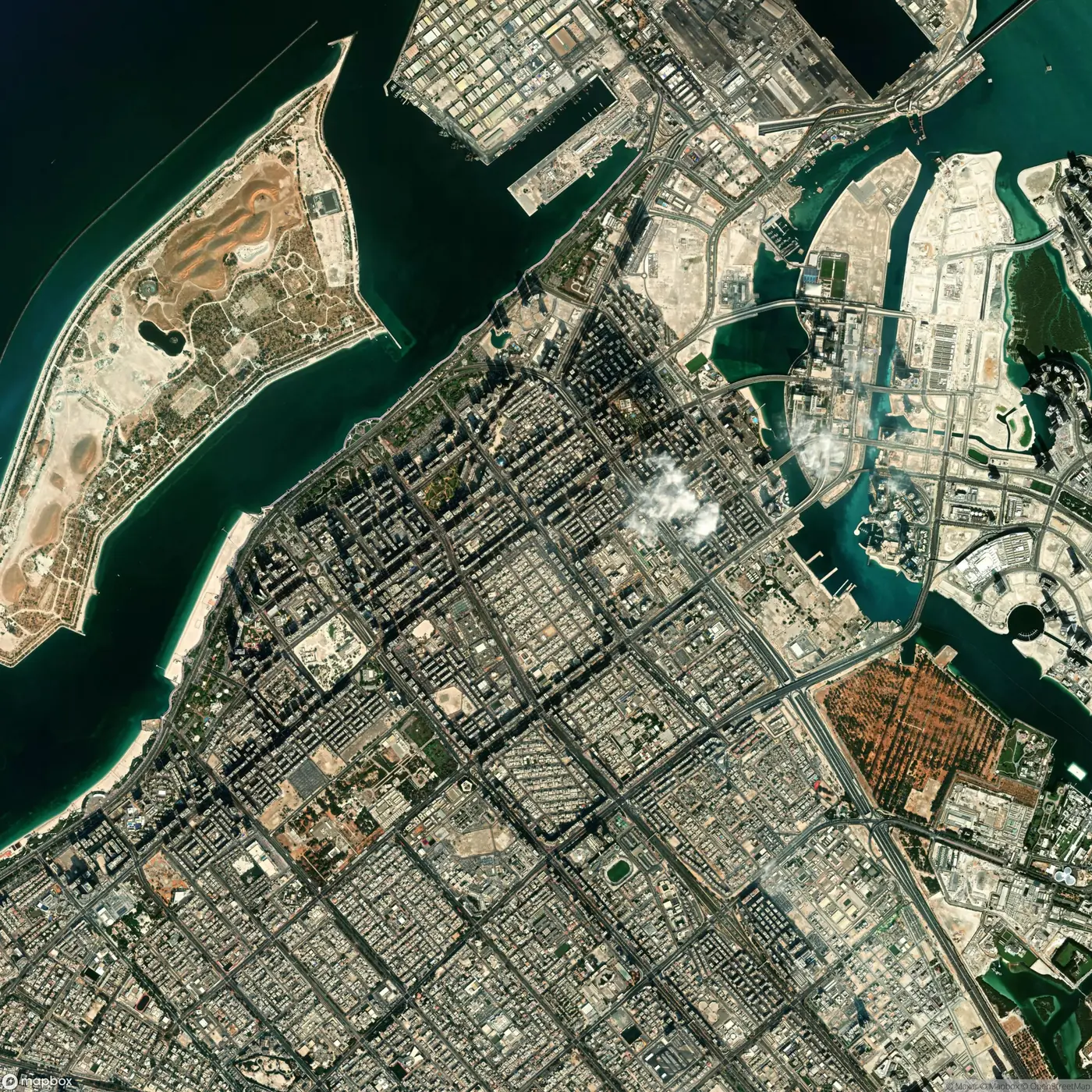
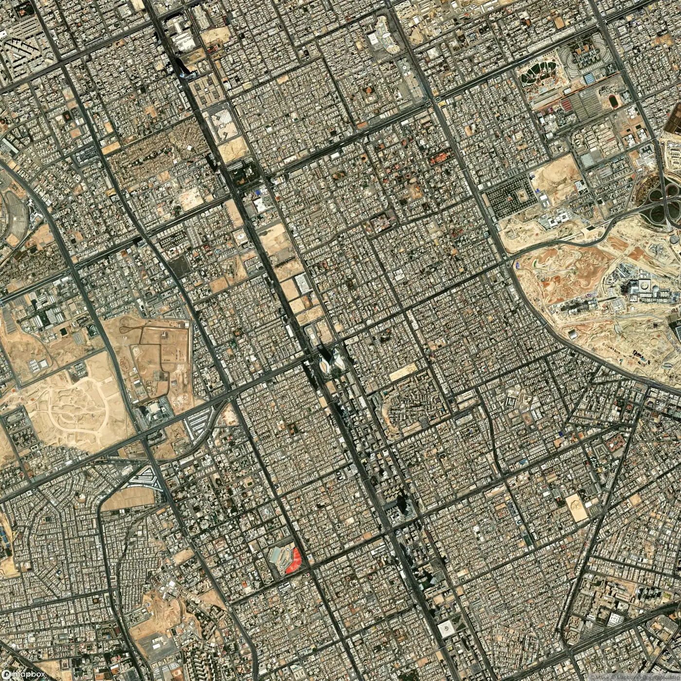
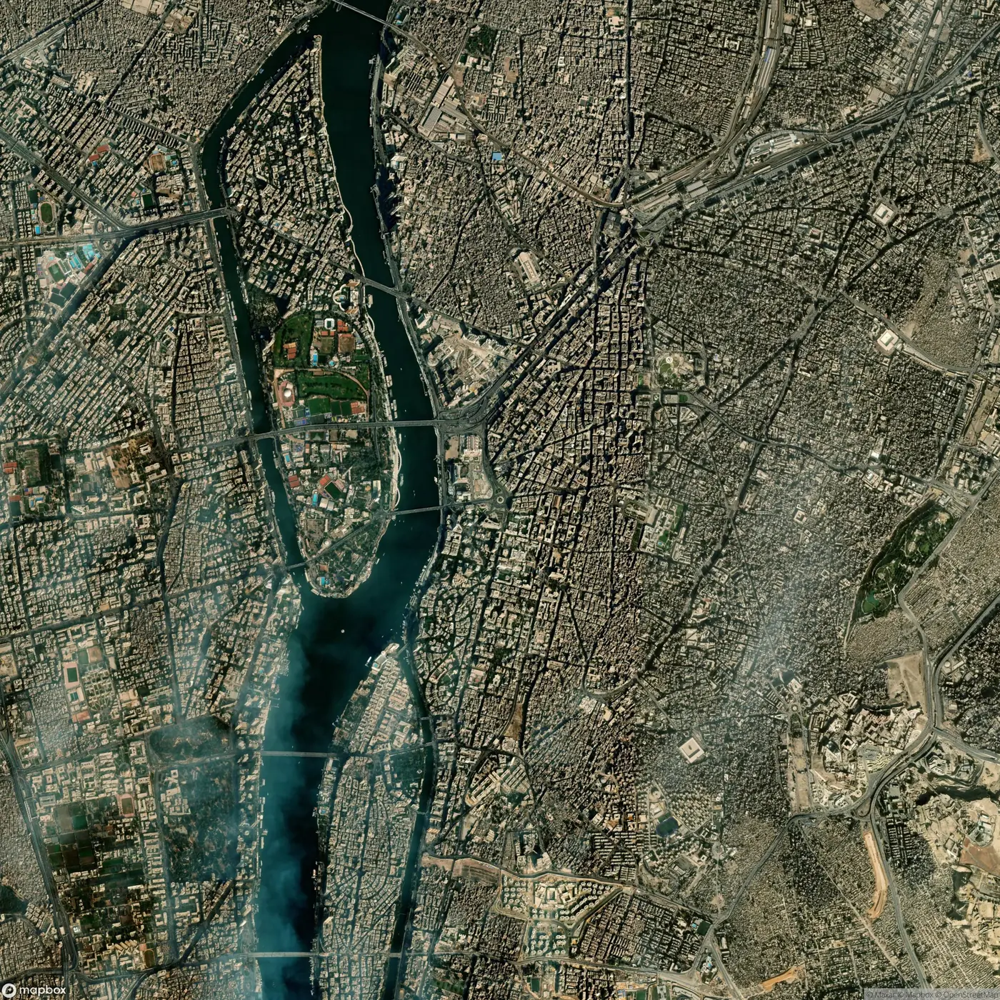
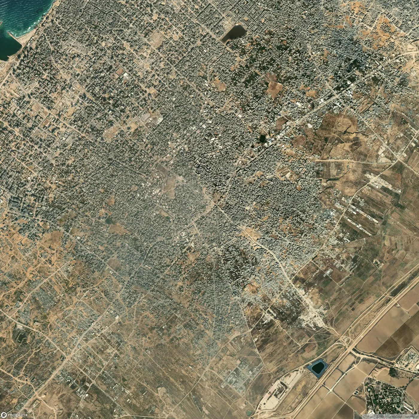
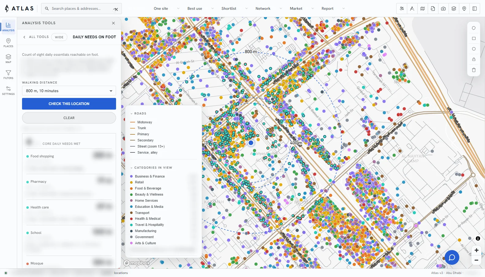
Every place, parcel and road of the territory, on a street or satellite base.

02

Tools

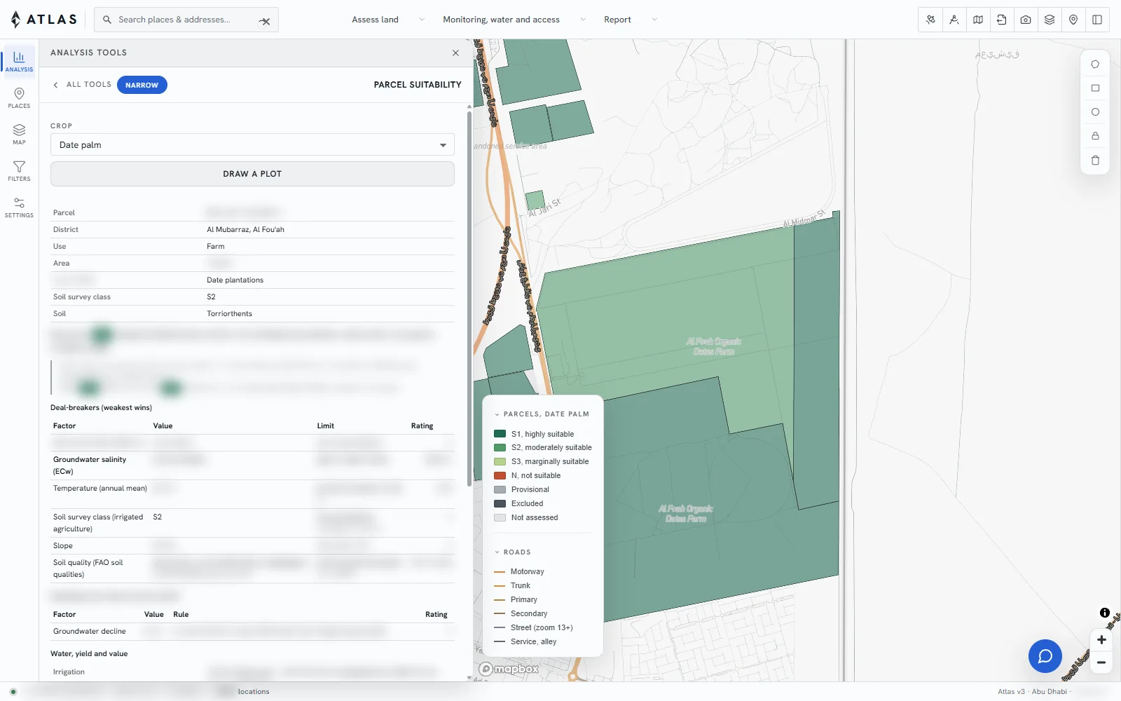
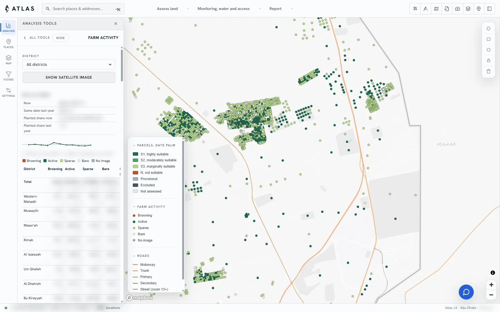
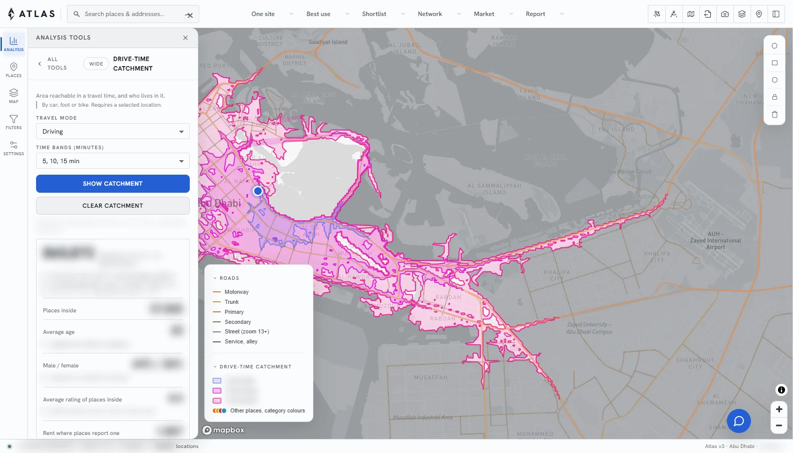
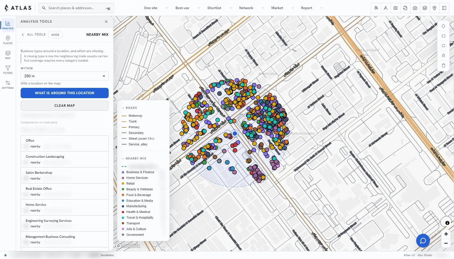
Each question is a tool. The answer is drawn on the map and listed beside it.

03

Grades

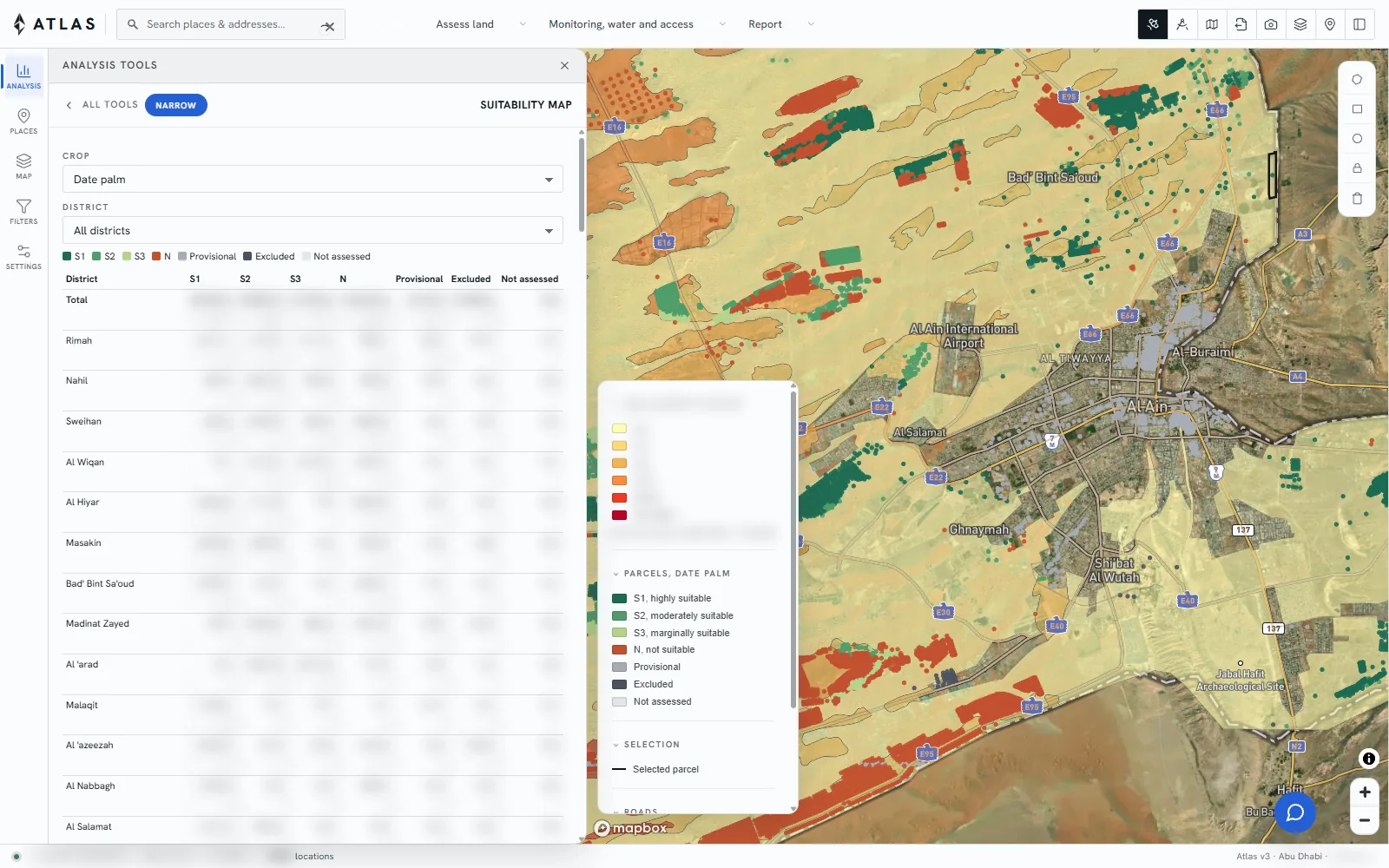
Land and sites are graded, and the limiting factor is named.

04

Over time

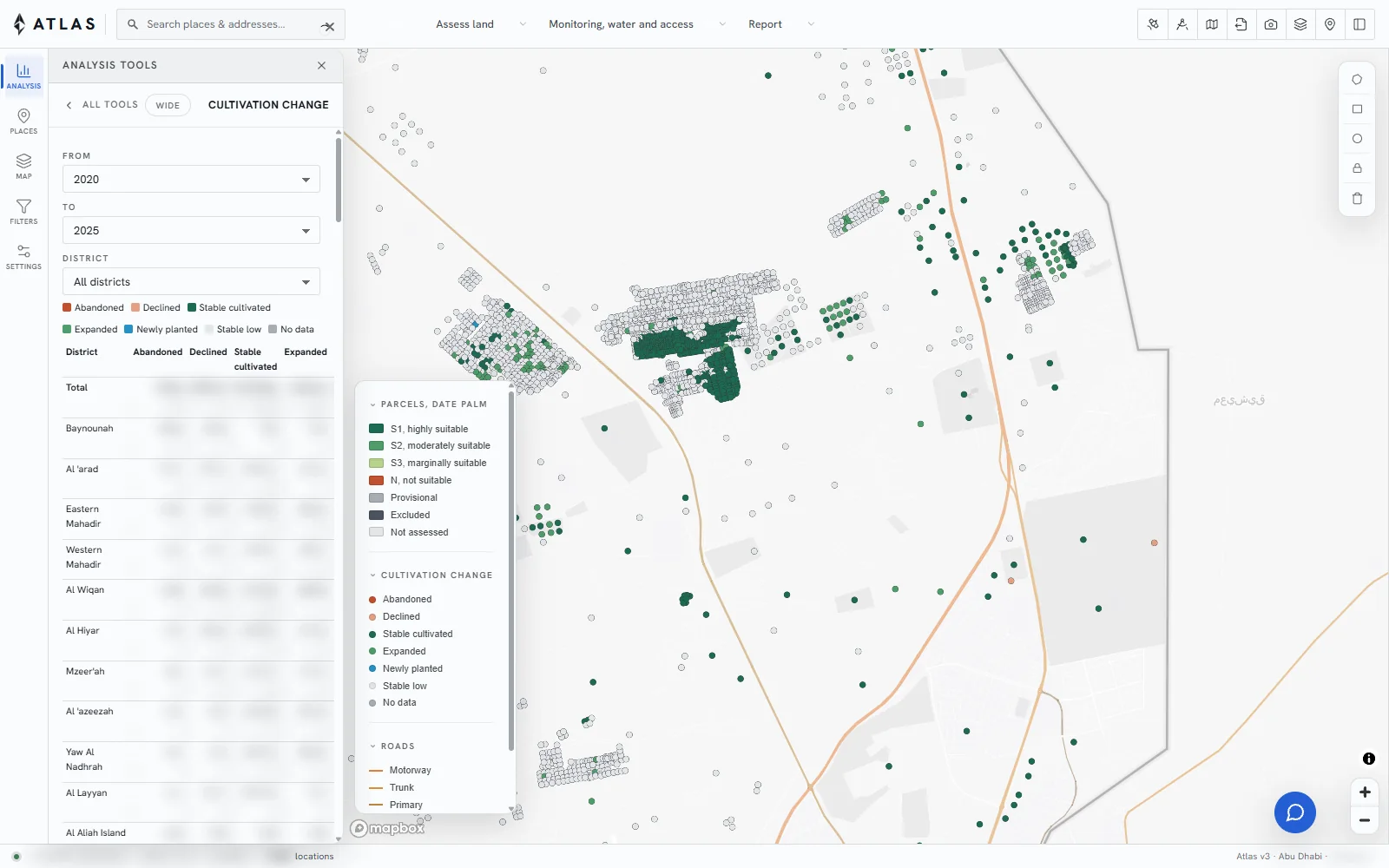
Satellite imagery is read month by month, so change is visible.
Coverage

Four countries, configured locally.