Solutions
Eleven solutions, one platform.
Each solution has its own layers, tools and report. The map, the assistant and the report format are shared.
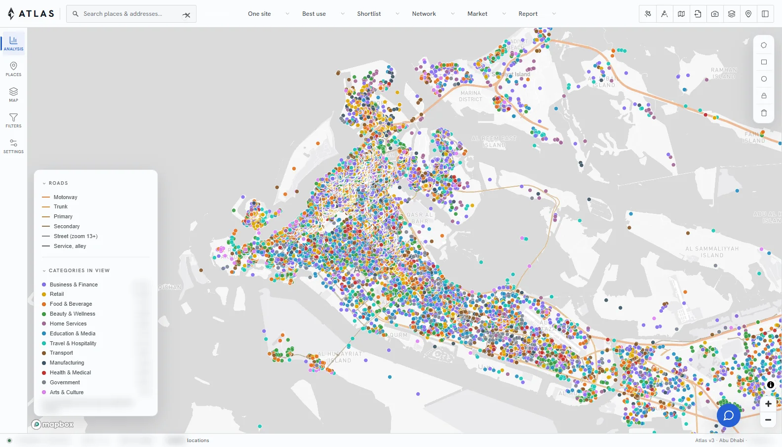
Planning
Places, catchments and sites for retail and service planning.
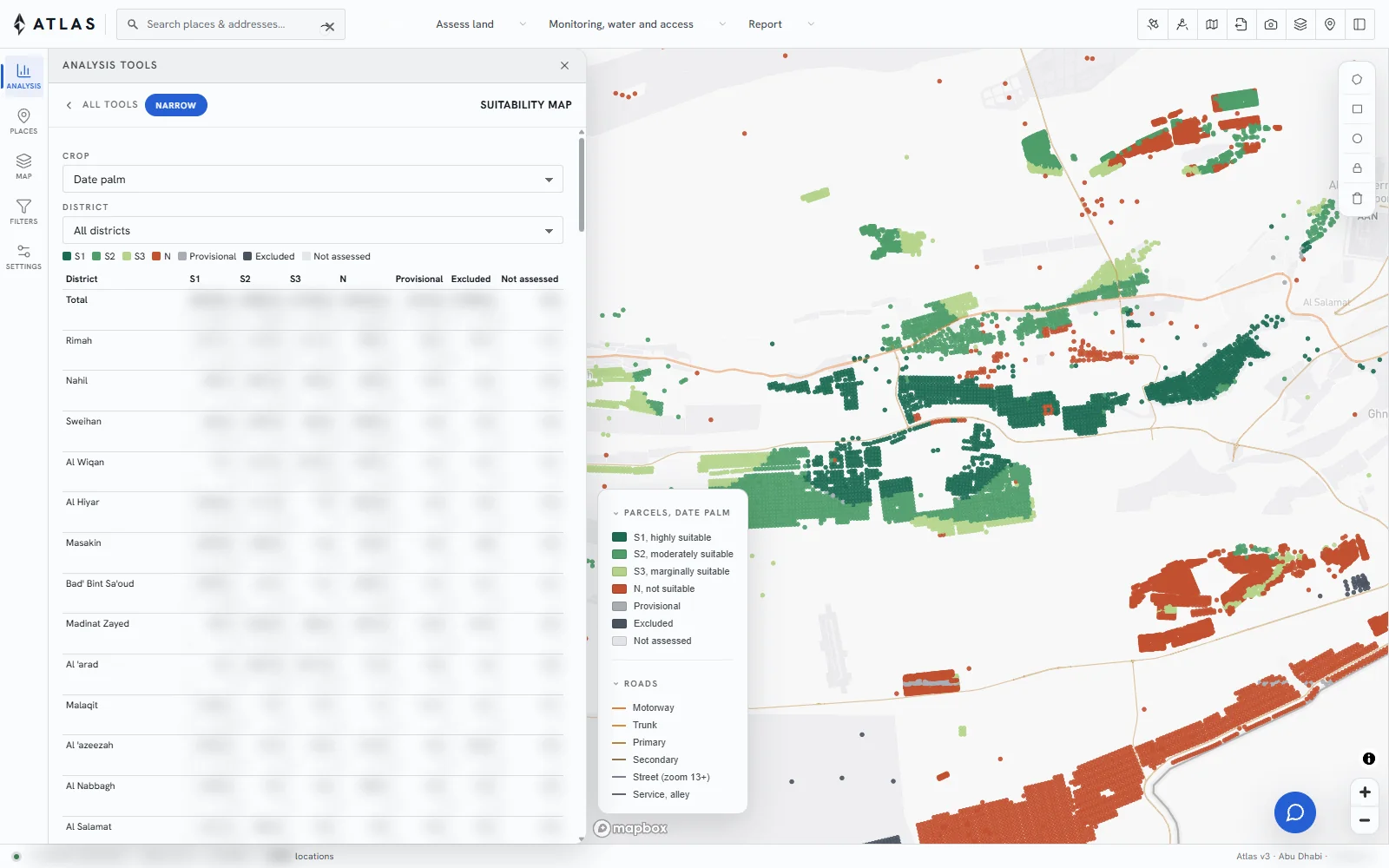
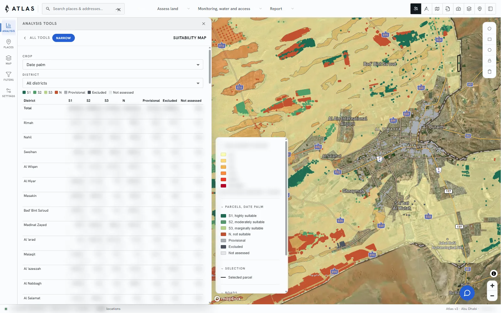
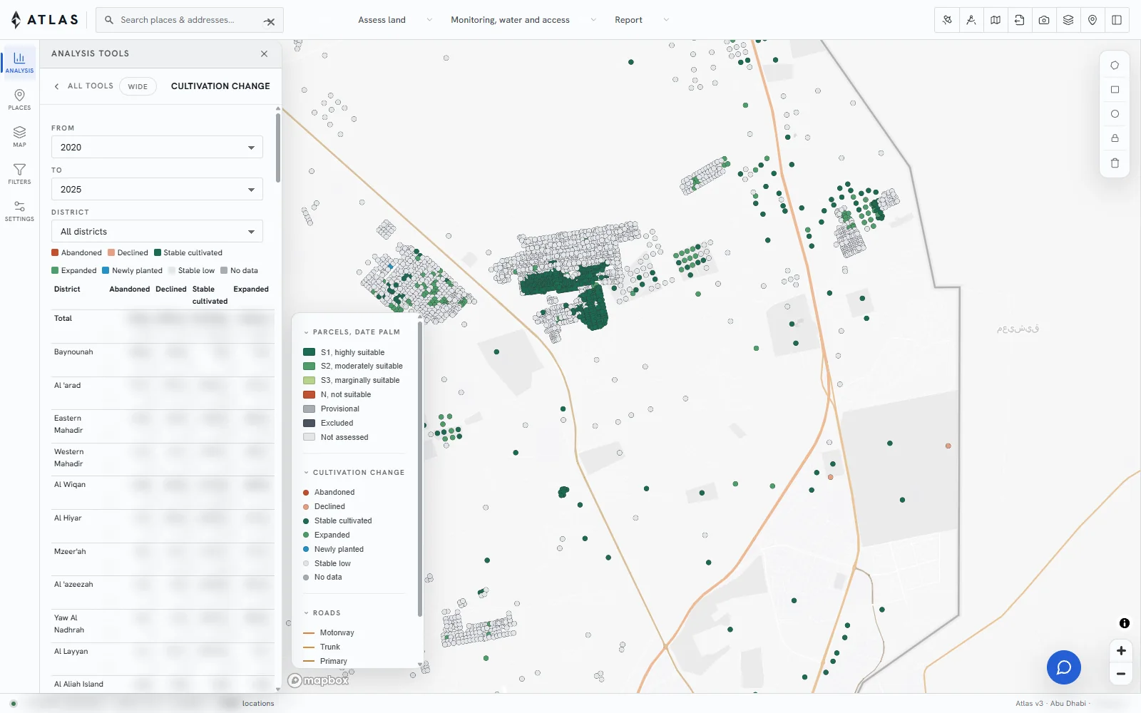
Agriculture
Crop suitability, soil, water and farm activity, parcel by parcel.
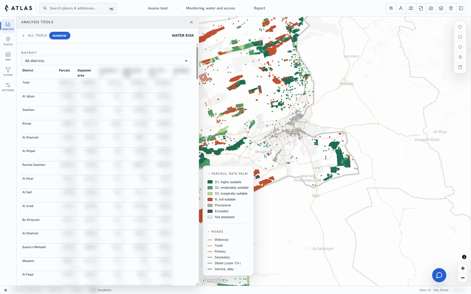
Water
Groundwater, salinity and demand by district.
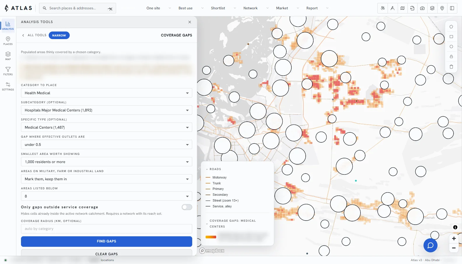
Health
Coverage of health facilities by travel time.
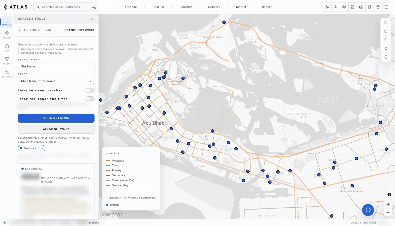
Logistics
Branch and depot networks, reach and overlap.
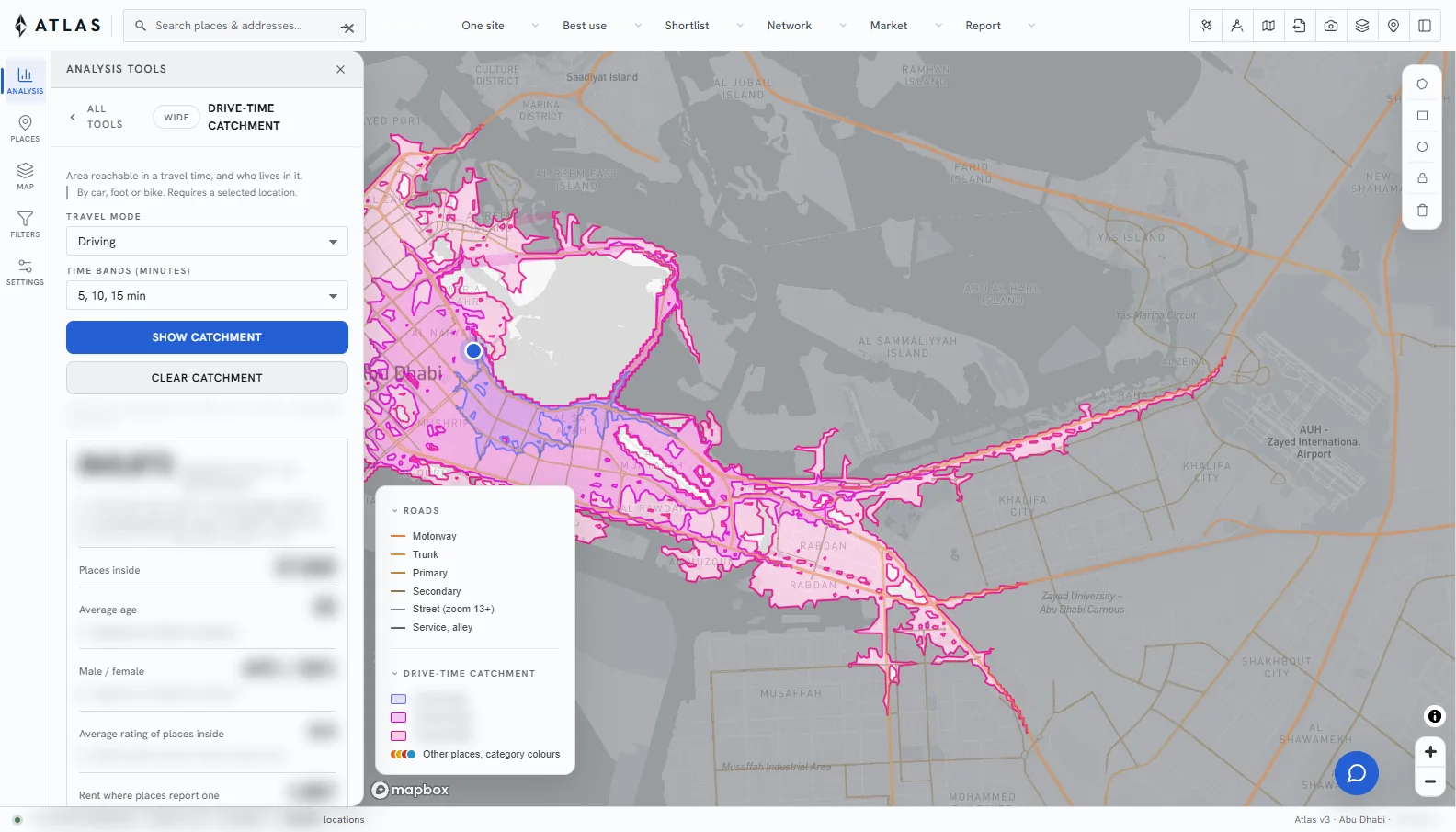
Emergency response
Response-time areas and the population outside them.
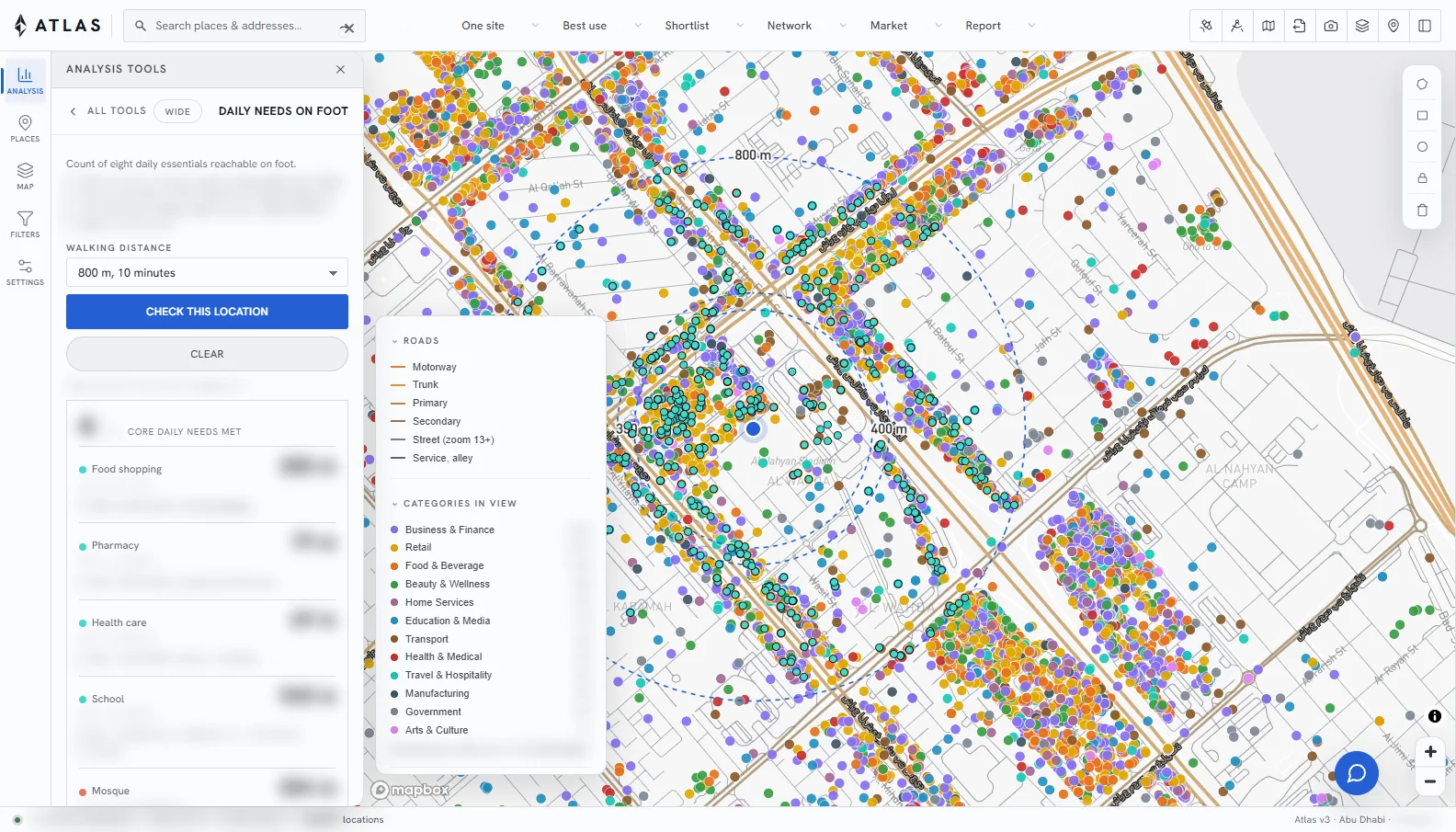
Education
School catchments and walking access.
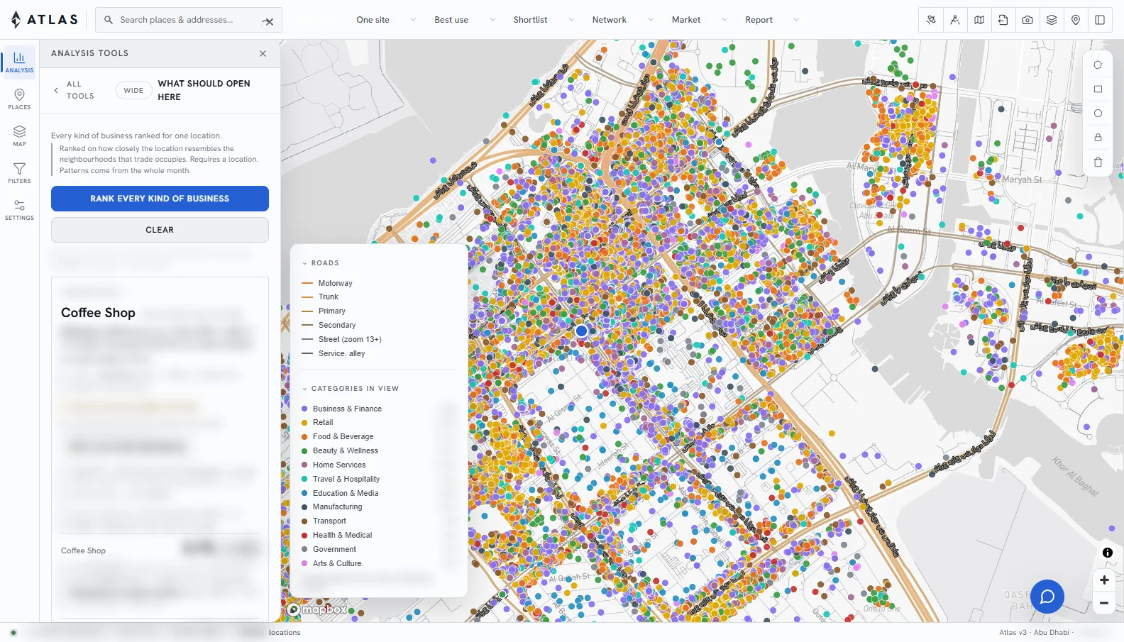
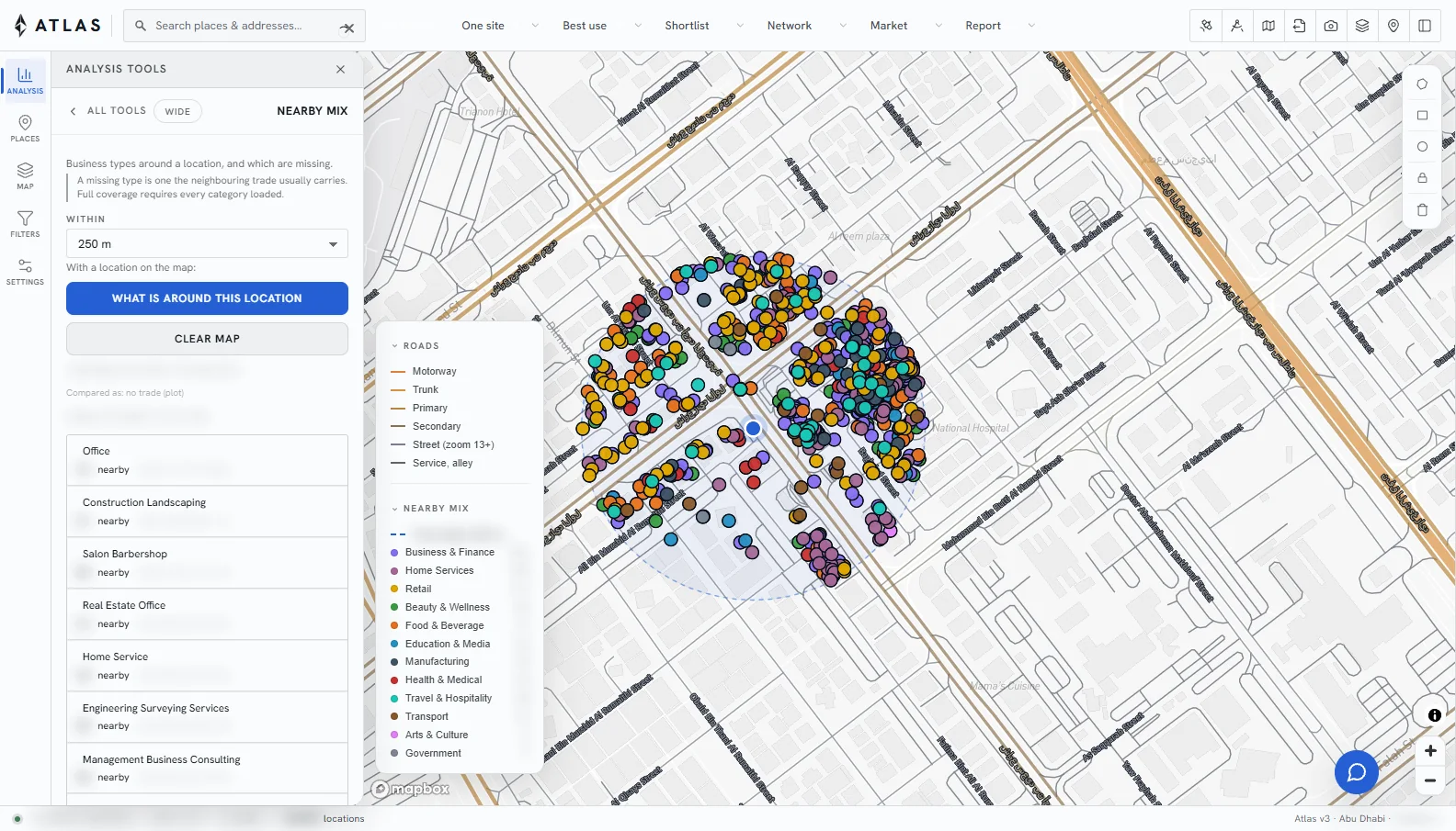
Real estate
Best use and comparable sites for a plot.
Tourism
Attractions, accommodation and access.
Energy
Land screening for solar and grid projects.
Environment and coast
Land and coastline change over time.