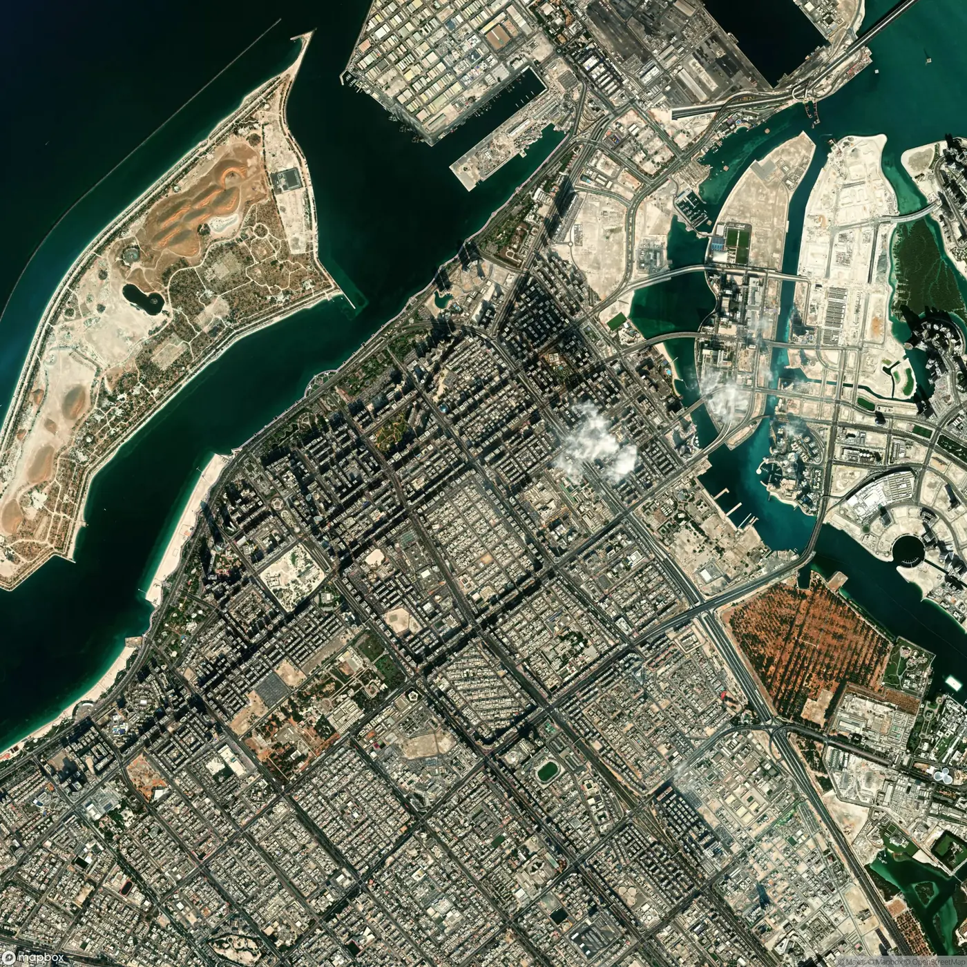
24.49 N 54.37 E
Abu Dhabi
Island city on the Gulf coast, set out on a grid of superblocks.
03Cities
Every city starts from the same base: its roads, buildings, land use and population, on satellite imagery. The edition adds the layers its questions need.
24.49 N 54.37 E
Island city on the Gulf coast, set out on a grid of superblocks.
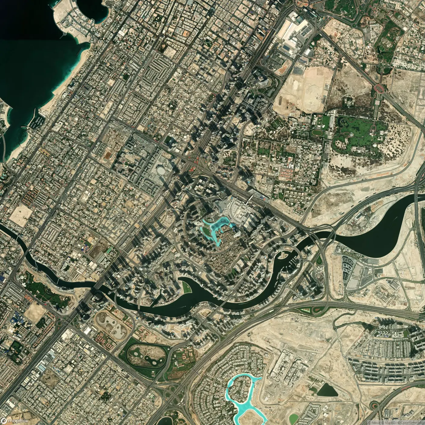
25.20 N 55.27 E
Coastal corridor along Sheikh Zayed Road, with the creek and canal running through it.
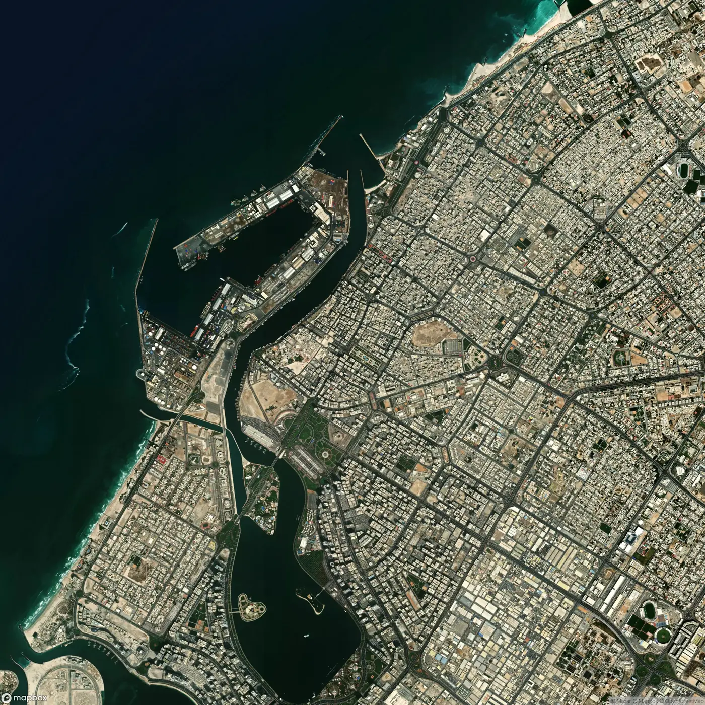
25.36 N 55.39 E
Lagoon city on the coast north of Dubai.
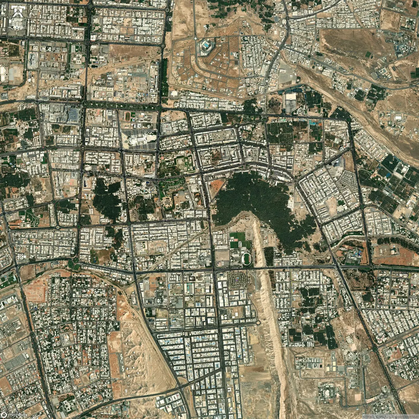
24.22 N 55.76 E
Oasis city inland, on the border with Oman, ringed by farms.
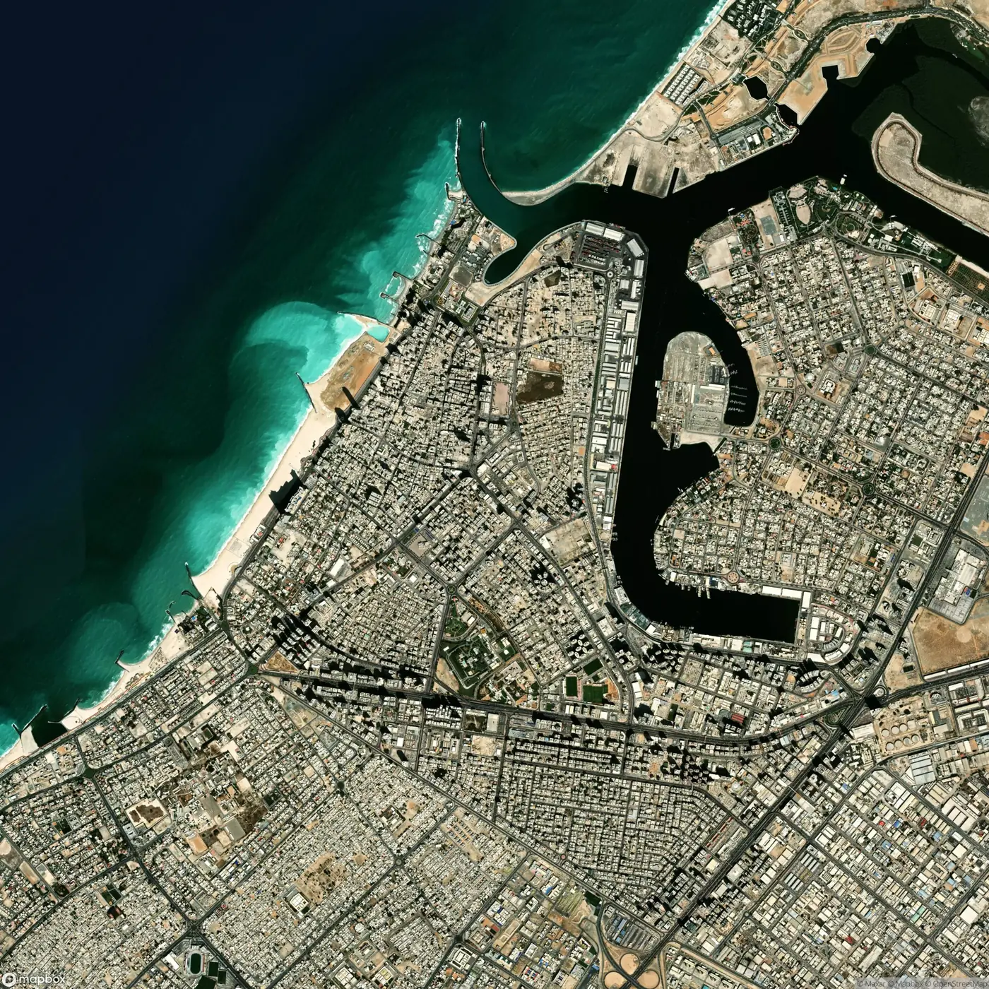
25.41 N 55.45 E
The smallest emirate, built around its creek on the Gulf coast.
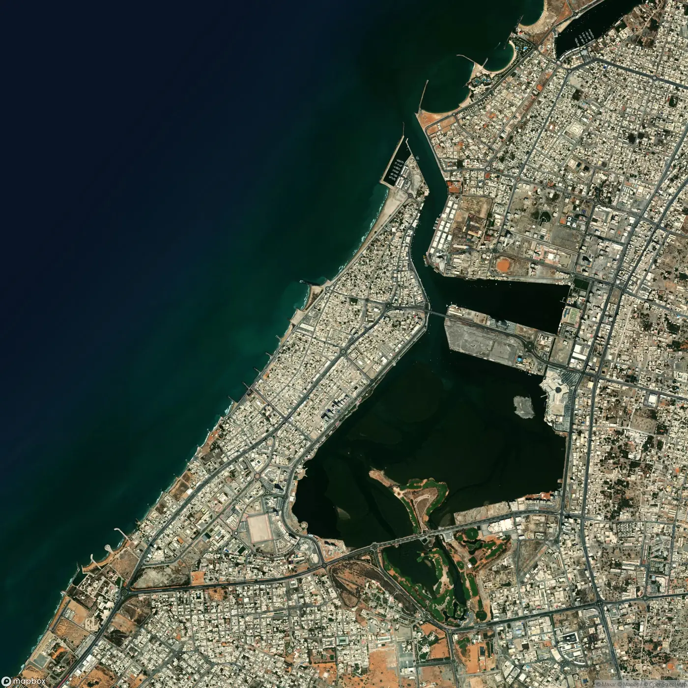
25.79 N 55.94 E
Northern emirate between the Hajar mountains and the sea.
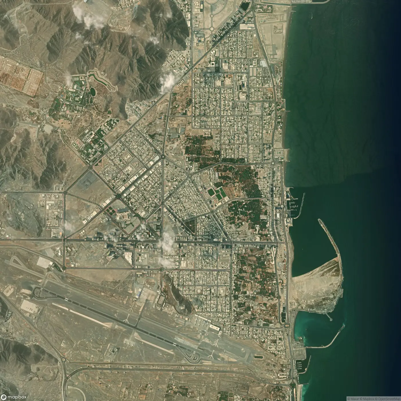
25.13 N 56.34 E
On the Gulf of Oman, with the mountains at its back.
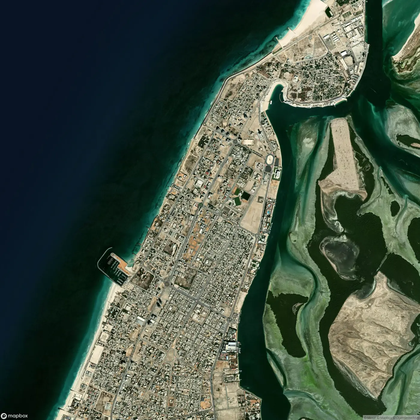
25.57 N 55.56 E
Lagoon, islands and mangrove coast.
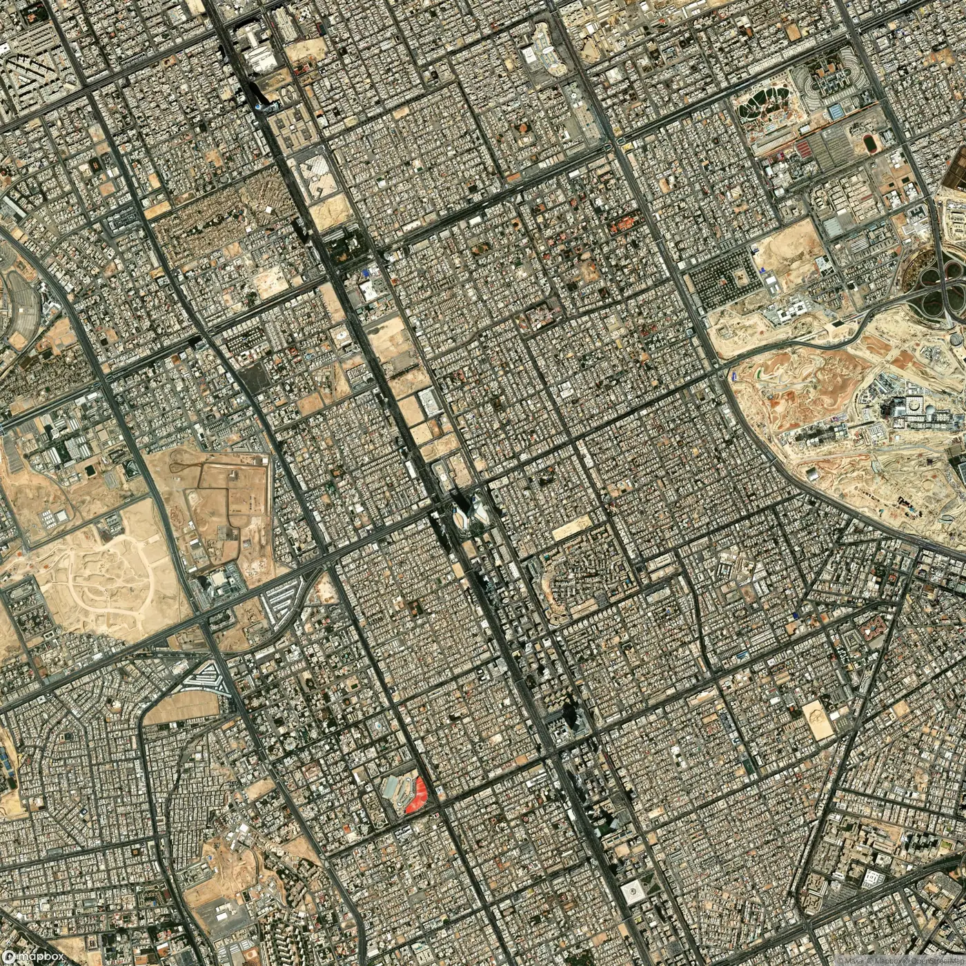
24.71 N 46.68 E
Capital of Saudi Arabia, on the Najd plateau.
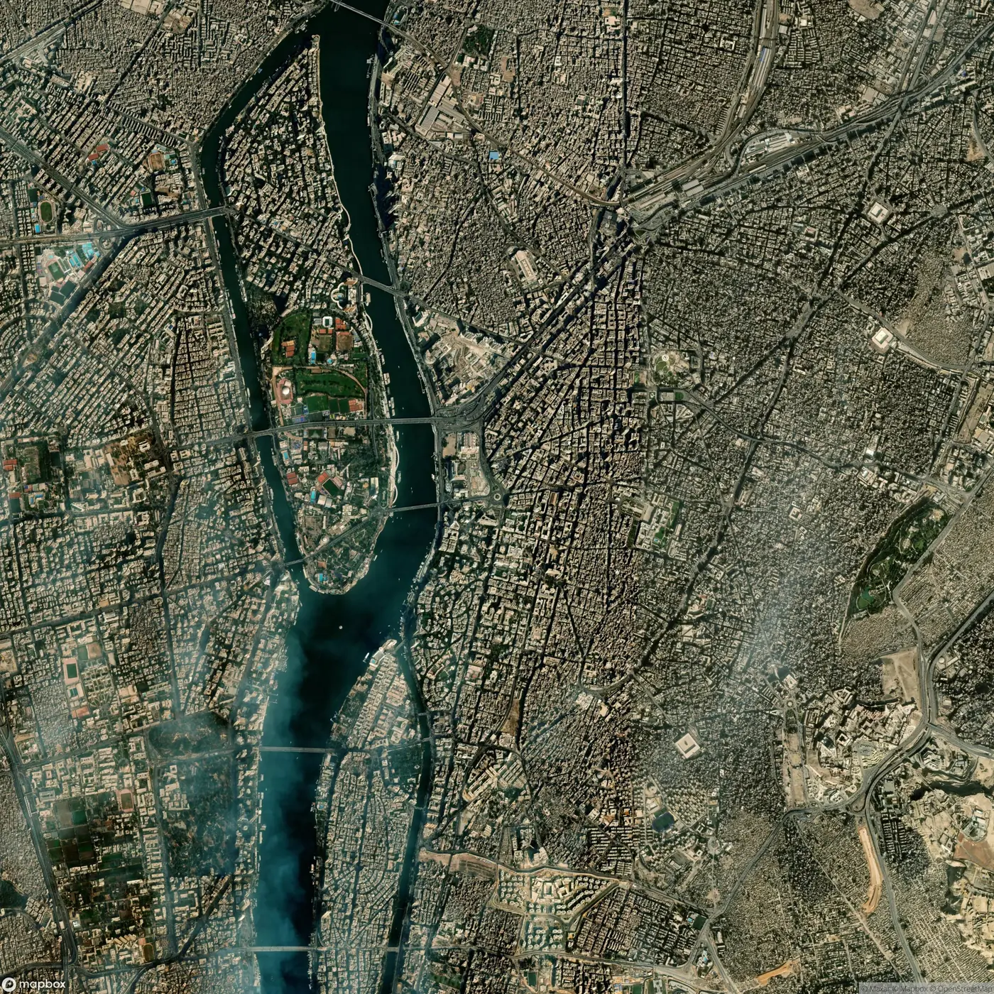
30.04 N 31.24 E
On the Nile, where the valley opens into the delta.
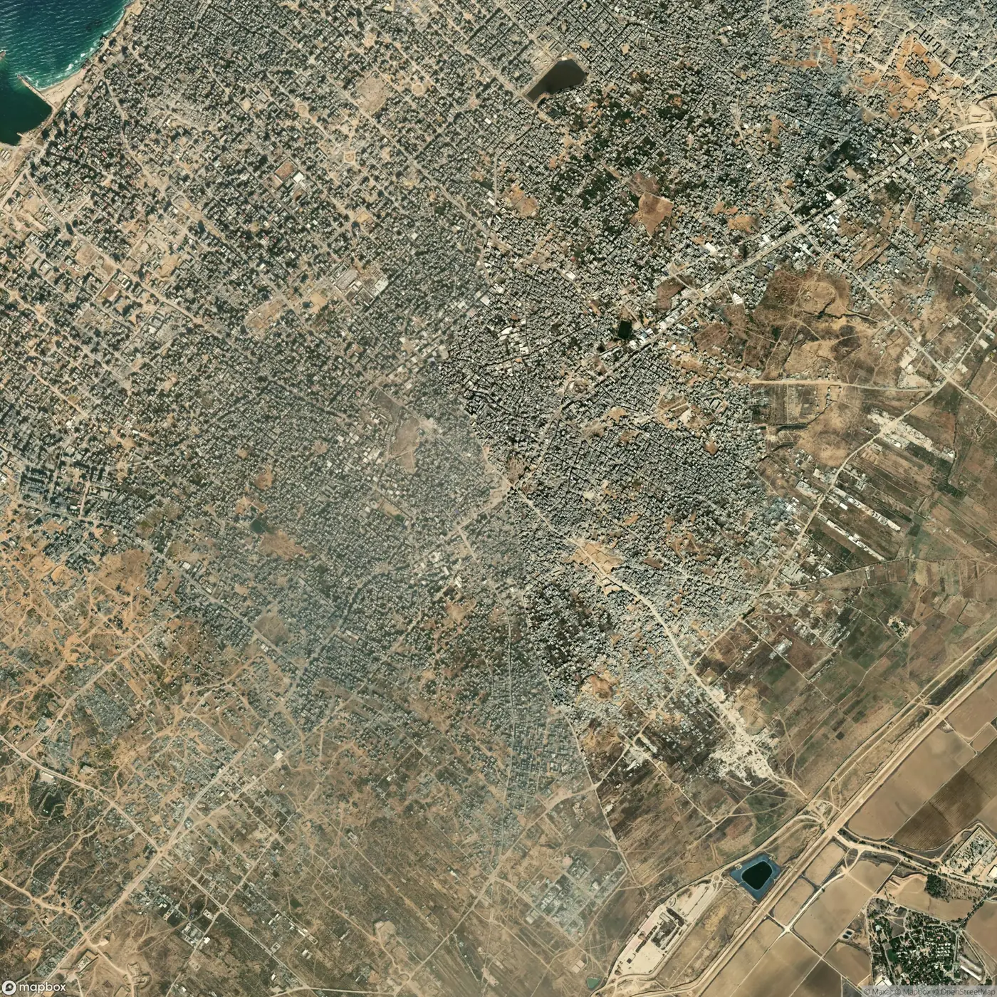
31.50 N 34.47 E
Coastal strip on the eastern Mediterranean.