ATLAS

02Editions

One platform, eleven editions.

Each edition is ATLAS configured for one kind of question: its layers, its tools and its report. The map, the method and the assistant are shared by all of them.

  1. 01 Planning
  2. 02 Agriculture
  3. 03 Water
  4. 04 Health
  5. 05 Logistics
  6. 06 Energy
  7. 07 Tourism
  8. 08 Education
  9. 09 Real estate
  10. 10 Emergency response
  11. 11 Environment and coast

01

Planning

Where a new outlet fits, which areas are short of a service, and what a site will support.

Layers
Places by category, roads, a 500 m population grid, land use.
Tools
Site explorer, drive-time catchment, coverage gaps, opportunity score, trade area capture, network build.
Report
A planning report for a site or an area.
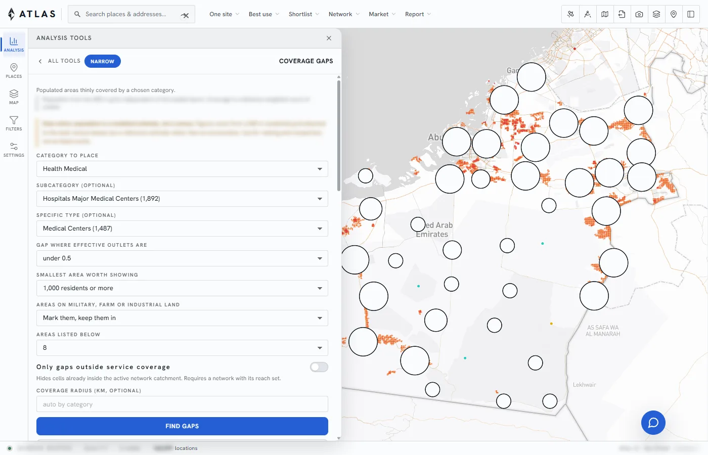
ATLAS Planning: coverage gaps for medical centres
Coverage gaps: populated areas thinly served by a chosen category.

02

Agriculture

Which crops suit a parcel and what limits them, how a farm performs month by month, and where water is at risk.

Layers
Parcels, soil, groundwater, climate, satellite greenness.
Tools
Parcel suitability, what should grow here, soil fix, farm activity, water risk, market access.
Report
A land report for each parcel.
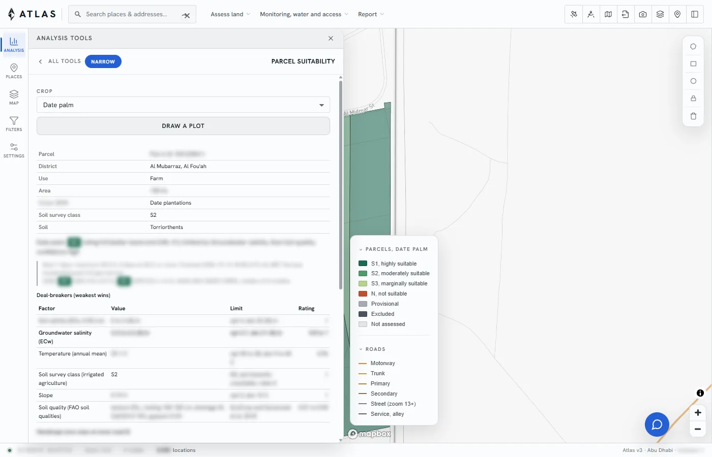
ATLAS Agriculture: suitability of one parcel for date palm
Parcel suitability: grade, limiting factor and the value behind each rating.

03

Water

Where demand outruns supply, which wells are declining, and which districts carry salinity risk.

Layers
Wells, aquifers, consumption by district, distribution network.
Tools
Depletion trend, demand by district, risk ranking.
Report
A water balance for each district.
Satellite view of Al Ain
Al Ain, 24.22 N 55.76 E.

04

Health

How far each facility reaches in travel time, who lives beyond it, and where a new clinic covers the most people.

Layers
Facilities by type, population, road network.
Tools
Travel-time coverage, gap finder, site ranking.
Report
A coverage report for a district or a facility type.
Satellite view of Sharjah
Sharjah, 25.36 N 55.39 E.

05

Logistics

Where a depot serves the most demand, how far a fleet reaches in a shift, and what a new route costs in time.

Layers
Road network, depots, demand points, industrial land.
Tools
Depot location, drive-time reach, network build.
Report
A network report for a set of depots.
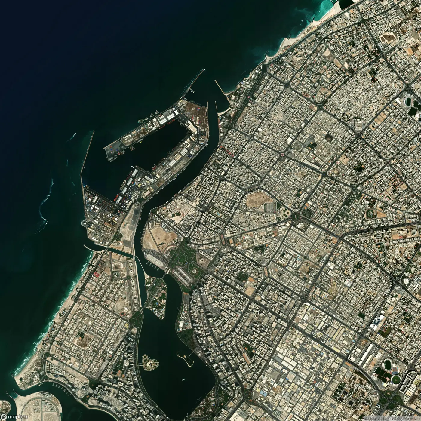
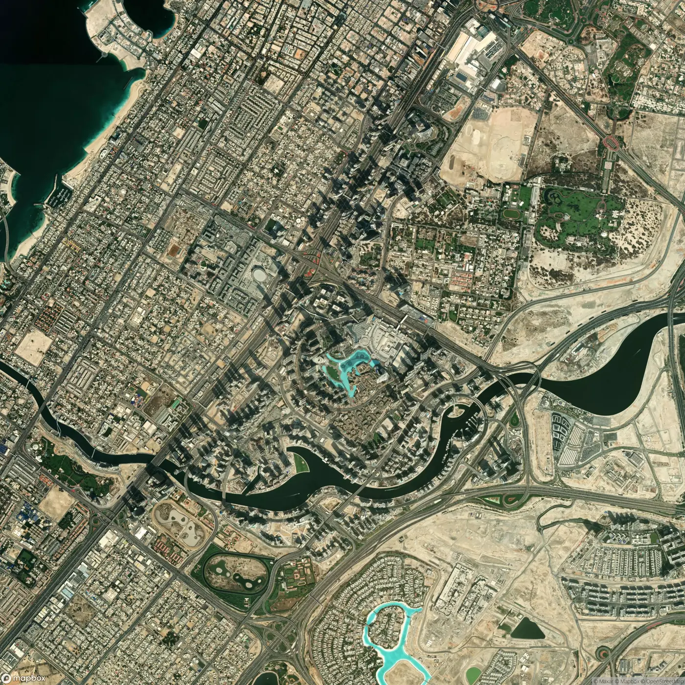
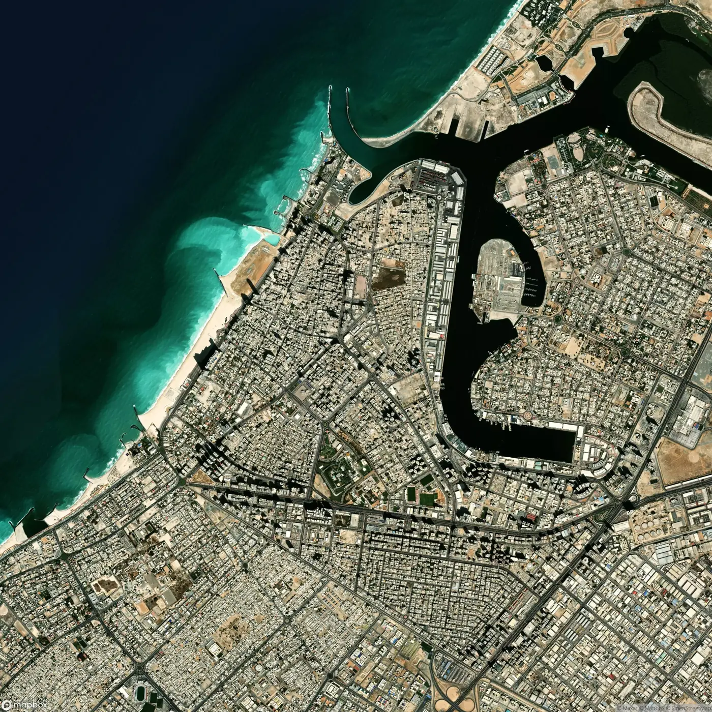
Satellite view of Dubai
Dubai, 25.20 N 55.27 E.

06

Energy

Which land suits a solar field, how far it sits from the grid, and what constrains it.

Layers
Solar irradiance, slope, land use, grid lines and substations.
Tools
Site screening, constraint overlay, distance to connection.
Report
A site screening report.
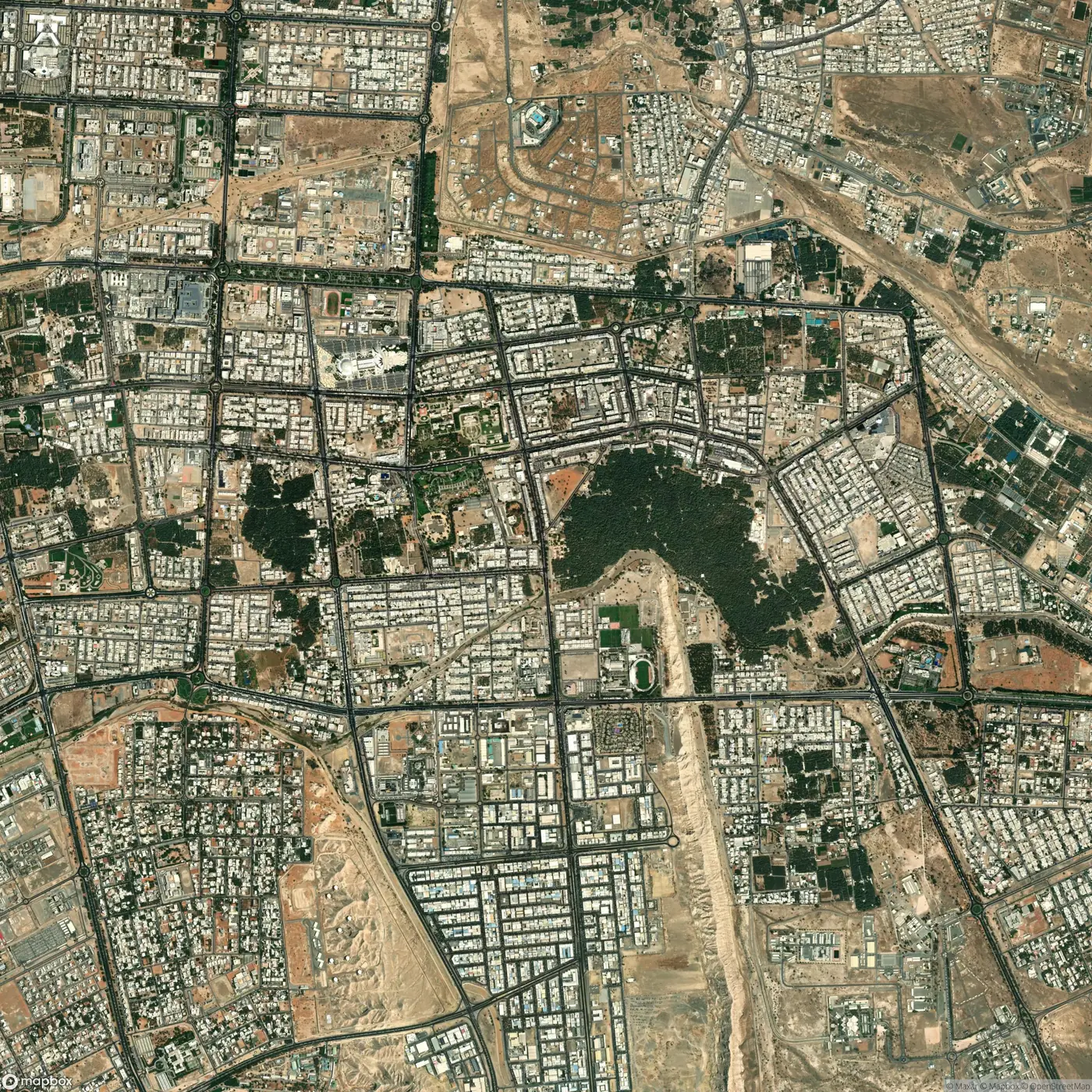
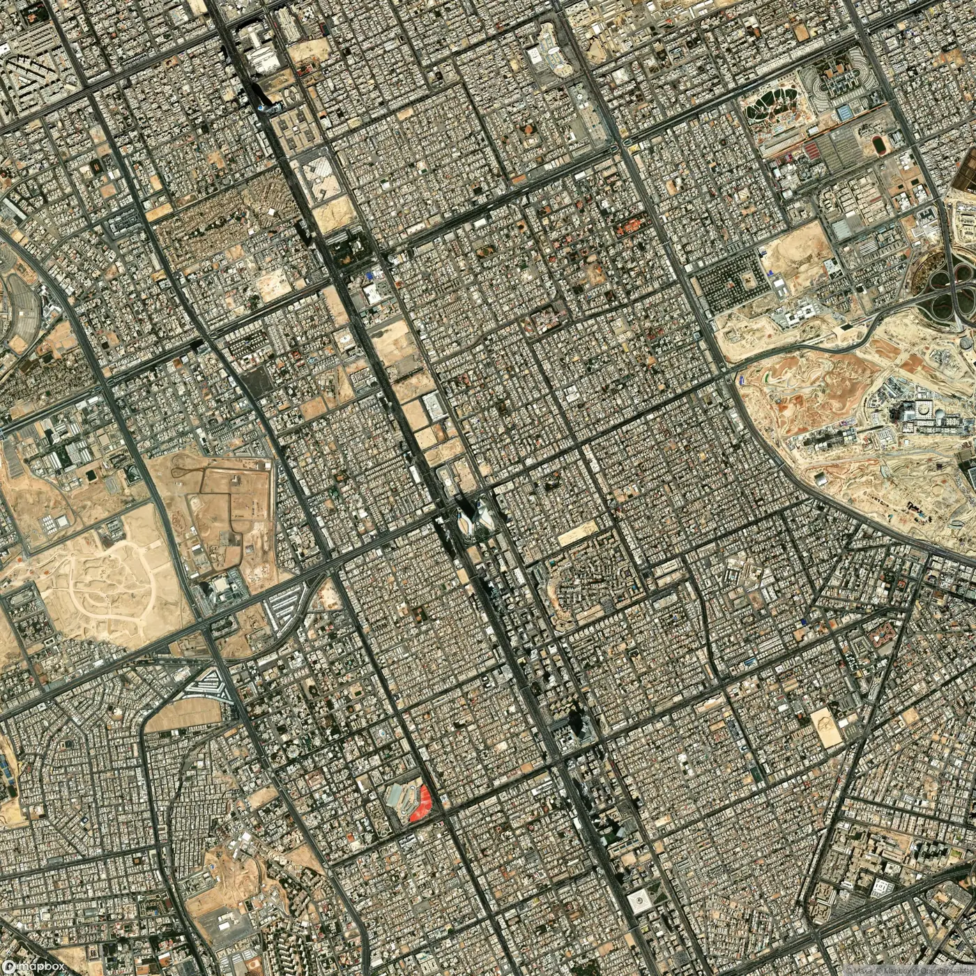
Satellite view of Riyadh
Riyadh, 24.71 N 46.68 E.

07

Tourism

Where attractions cluster, where rooms are short, and how visitors reach each site.

Layers
Attractions, accommodation, transport, coastline.
Tools
Visitor catchment, supply gap, access time.
Report
A destination report.
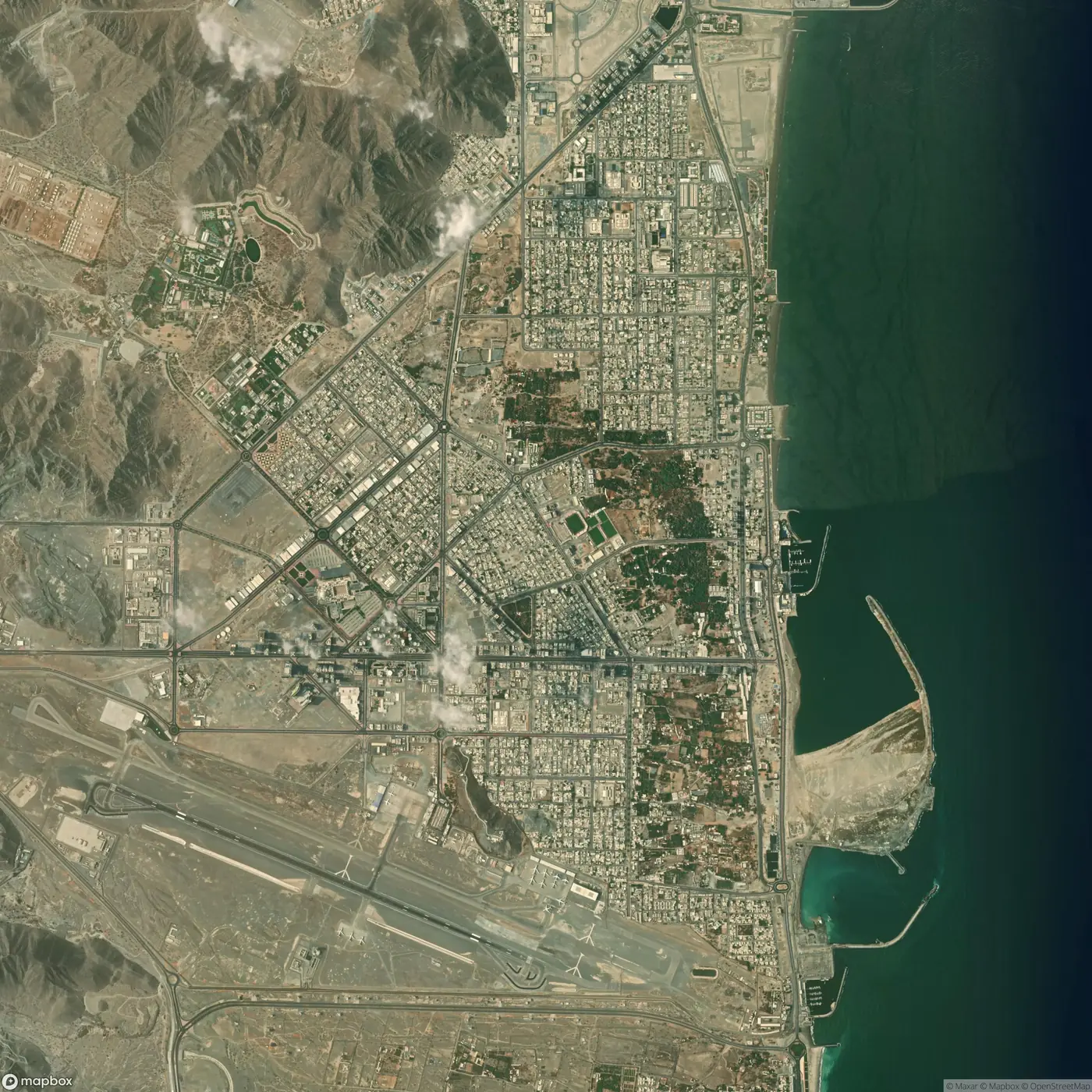
Satellite view of Fujairah
Fujairah, 25.13 N 56.34 E.

08

Education

Which school serves which neighbourhood, where seats fall short of children, and who walks to school.

Layers
Schools by stage, population by age band, walking network.
Tools
School catchment, capacity gap, walking access.
Report
A provision report for a district.
Satellite view of Ajman
Ajman, 25.41 N 55.45 E.

09

Real estate

What a plot is close to, which sites compare with it, and what use the location supports.

Layers
Plots, amenities, roads, land use.
Tools
Comparable sites, amenity score, best use.
Report
A site appraisal.
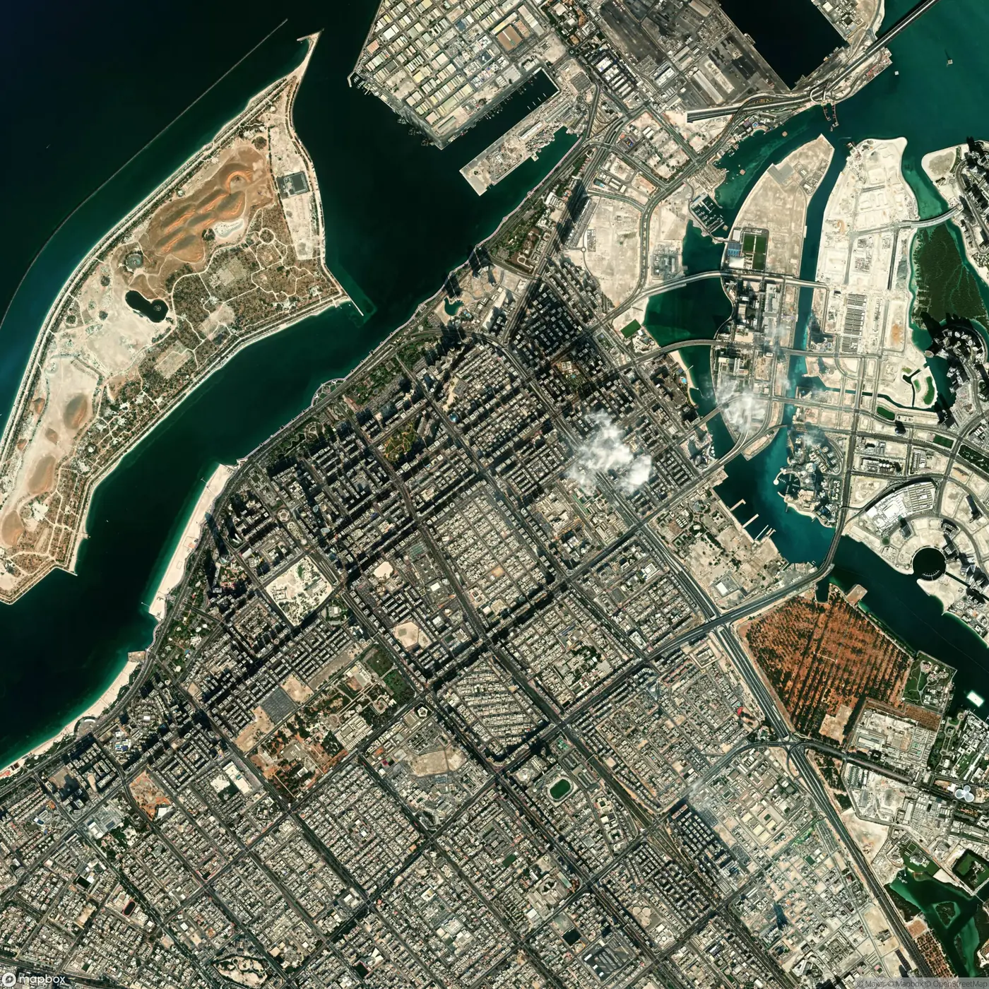
Satellite view of Abu Dhabi
Abu Dhabi, 24.49 N 54.37 E.

10

Emergency response

Which areas a station reaches within the response time, who lies outside it, and where the next station belongs.

Layers
Stations, road network with speeds, population.
Tools
Response-time coverage, uncovered population, best new station.
Report
A coverage report.
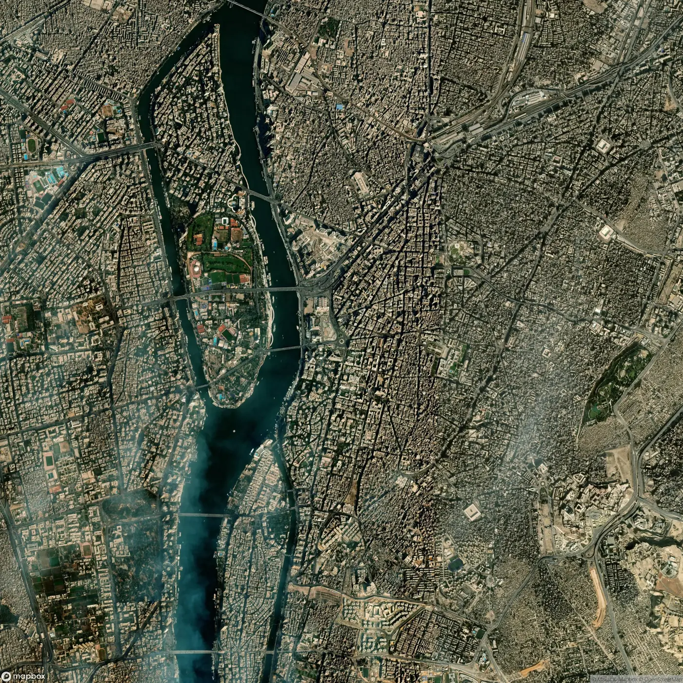
Satellite view of Cairo
Cairo, 30.04 N 31.24 E.

11

Environment and coast

How the shoreline moves, which habitats sit in the way of development, and what floods first.

Layers
Shoreline, habitats, mangroves, elevation.
Tools
Change over time, exposure overlay.
Report
An exposure report.
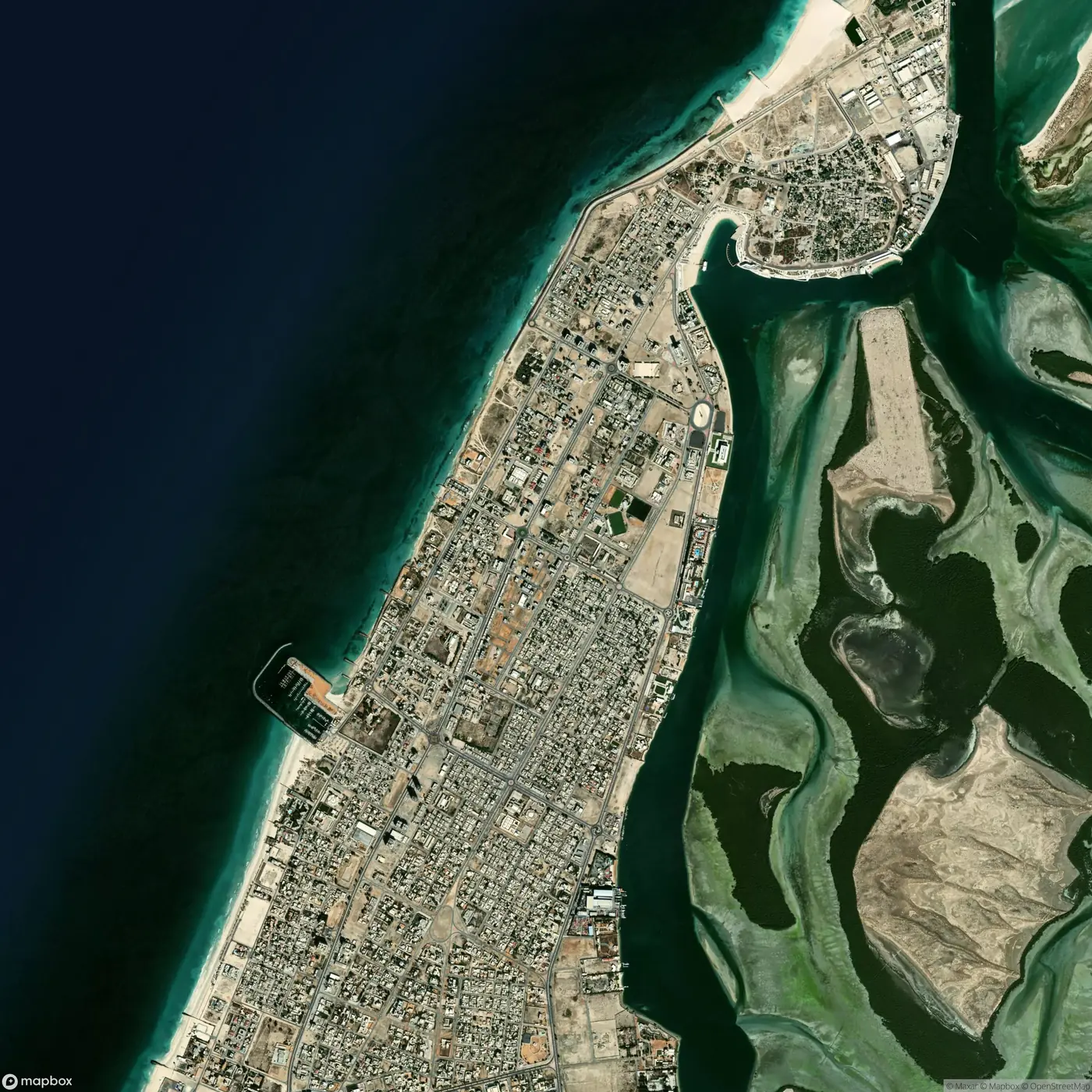
Satellite view of Umm Al Quwain
Umm Al Quwain, 25.57 N 55.56 E.